When you start backpacking, chances are you will consult a trail guide to help you choose your destination. Trail guides are great but they are often written for people who are “in the know” about backcountry etiquette. After reviewing this Glossary for Schmucks, you too will know what in the hell a trail guide is talking about.In that spirit, let’s start with our first definition:
Schmuck: any average Joe or Jo that embarks upon a new adventure with only their wits and a desire to succeed; rank amateur willing to risk discomfort and embarrassment for the sake of adventure; an individual who has no clue what they are doing, yet is willing to continuously learn through hard-won experience and is marked by unshakable good cheer in the face of wilderness adversity. see also: Masochist
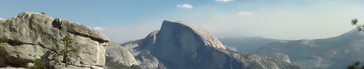
- Back Country: anywhere there is no sign of civilization and beyond the range of Day Hikers.
- Bear Box: large, lockable cabinets generally painted brown and located in developed campgrounds such as the Whitney Portal; designed to keep bears from consuming your toothpaste.
- Boulder Hopping: a required activity for the purposes of negotiating streams, creeks, rivers, and ponds; requires balance and; in many cases, a towel.
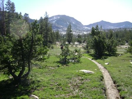
- Coniferous: evergreen trees such as pines
- Day Hike: a hike that generally takes only a day (4 hours or less) to complete.
- Day Hikers: individuals who carry only a small bottle of water, just stepped off of a chartered bus, and are dressed suitably for the nearest strip mall coffee shop; aka Tourists.
- Deciduous: trees that lose their leaves in the fall, such as oaks and maples.
- Fire Permit: a piece of paper you acquire online to present to a Forest Ranger so they can blame you in the event of a fire.
- Foot Bridge: replaces boulder hopping and sometimes spans larger rivers and streams; designs vary between a complex structure that can accommodate trucks to a single plank of wood over a damp rut.
- Forest Ranger: identified by funny hats, these creatures can be found in their natural habitat of Ranger Stations; activities include selling books, issuing bear canisters, and signing wilderness permits that will be discarded as soon as backpackers leave the station.
- Gentle Rise in the Trail: damn lies from trail guide authors.
- GPS: global positioning system; curious location device that requires a master’s degree in geography and computer science to operate.
- Interpretive Loop/Trail: a short hiking trail that features markers where tourists can look at both coniferous and deciduous trees as well as wildlife such as Forest Rangers.
- Leave No Trace: a backcountry concept that mandates backpackers leave a campsite with no trace of human activity…such as a discarded bear canister.
- Loop: a trail that takes you in a big circle.
- Out and Back: a trail that is not a loop, but goes in two directions: out and back.
- Ranger Station: conspicuously marked with large yellow signs that reads: Ranger Station; contains trail maps and bear canisters for backpackers as well as displays of stuffed wildlife such as foxes, birds, and Forest Rangers.
- Switchbacks: zigzag portions on trails that reportedly make it easier to climb an aggressive hill; results in dizziness, profuse sweating, and strings of obscenity-laced rants.
- Trailhead: starting point for any trail and usually features a parking lot.
- Trail Junction: the place where two trails meet and usually have signs with direction and estimated mileage to destination or next junction; designed to confuse backpackers as to which way to go.
- Trail Map: an area map that will show where backcountry trails start, end, and meet; sometimes contains topographical information on ridgelines and elevation or may be scrawled on a napkin.
- Topographical Map: apparently written in hieroglyphics, sometimes allows backpackers to discern their elevation and location; the closer the lines are together, the more misery you will suffer; aka Topo Map.
- USGS: United States Geological Survey; creates Topo maps for specific areas, scales, and backpackers who can read hieroglyphics; available at Ranger Stations and most camping specialty stores, can also be downloaded from the internet…Google Translate is of no help.
- Wilderness Campsite: any undeveloped campsite in the backcountry; generally indicated by a crude fire ring and usually recognized with glee after a day of backpacking.
- Wilderness Permit: the scrap of paper that allows you to backpack in the wilderness; aka fire starting material.
